


Resonon hyperspectral imaging cameras are used in air, space, and underwater vehicles to capture detailed spectral data for a wide range of uses.
HABs – Hyperspectral and satellite algorithm development
NOAA GLERL and the University of Michigan’s Cooperative Institute for Great Lakes Research practice a weekly airborne campaign to assist in improvements to HAB forecast, to capture images of harmful algal blooms in western Lake Erie. This airborne campaign is ongoing in conjunction with weekly Lake Erie monitoring and biweekly sampling in Saginaw Bay. The flyovers are done in collaboration with researchers at NASA Glenn that have been flying their own airborne imaging sensor.
The weekly airborne images are hyperspectral, meaning it contains many more bands of discrete wavelengths than a typical spaceborne satellite. At NOAA GLERL, they use the Resonon Pika II sensor. Images have 240 bands that span the range of 400 to 900 nanometers, where the visible range that the human eye sees is from about 380 to 750 nanometers. The aircraft usually flies at an altitude that allows researchers to obtain images that are 1-meter to sub 1-meter pixel size, also called the spatial resolution. Hyperspectral sensing imagers offer a finer pixel size compared to the typical 1-kilometer spatial resolution from multi-spectral spaceborne satellites and offer many more bands that can be used to detect different types of algal groups. Typical spaceborne satellites that are multispectral are also only capable of capturing 20-30 images in the spring-autumn period when blooms are present because of cloud cover. Hyperspectral images are obtained even on cloudy days, as the plane is able to fly under the clouds. All of these benefits of hyperspectral sensing imagers offer water intake managers a key resource for identifying the type and location of algal blooms near water intake systems.
Showing all 11 results
-
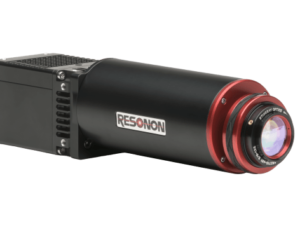
Pika IR-L
Read more -
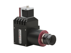
Pika IR-L+
Read more -
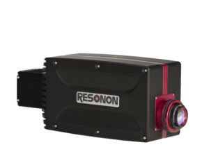
Pika L Hyperspectral Camera
Read more -
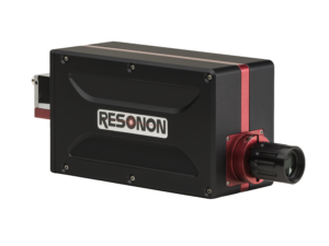
Pika IR Hyperspectral Camera
Read more -

Pika IR+ Hyperspectral Camera
Read more -
Pika UV Hyperspectral Camera
Read more -
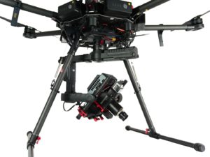
Resonon Airborne Remote Sensing System
Read more -
Resonon Hyperspectral Cameras
Read more -
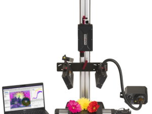
Resonon Benchtop System
Read more -
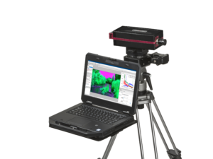
Resonon Outdoor Field System
Read more -
SVS-Vistek SWIR cameras
Read more