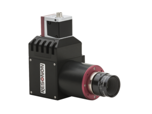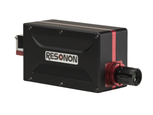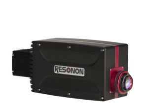
Description
Resonon’s airborne systems are completely integrated turnkey solutions, with all the hardware and software necessary to acquire georegistered hyperspectral data.
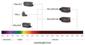
Systems can be fitted with most of our hyperspectral imaging cameras, covering the 350 – 1700 nm spectral range.
Airborne systems can be mounted on both manned and un-manned aerial platforms. Payload weights begin at 1.6 kg.
System components:
- Hyperspectral imaging camera
- Objective lens
- System Control Unit – for onboard data collection and storage
- GPS/IMU – to record sensor position and orientation
- Georectification Software – to correct for GPS/IMU information
- Radiometric Calibration
- Calibration Tarp (3m X 3m)
- Spectronon – Resonon’s hyperspectral data analysis software
- Training Services (optional)