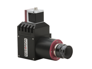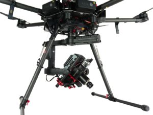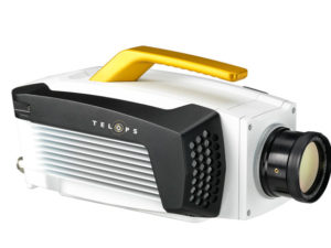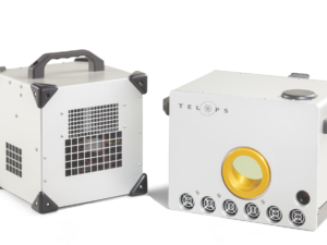
Description
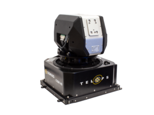
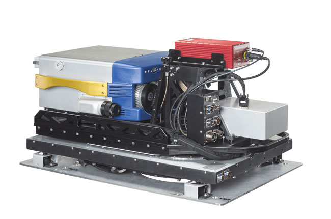
A major leap in airborne hyperspectral mapping.
The system enables the production of hyperspectral maps of the ground surveyed from an airplane. The airborne module includes a stabilization platform, a GPS/INS, an image motion compensation mirror, a navigation module as well as all the necessary airborne operation software.
Key Features and Benefits:
- Real-time chemical imaging and simultaneous visible imaging
- Very high sensitivity enables detection of weak signals
- Flexible spectral range
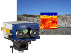
- Dynamic range from ambient to +2,000 Celsius
- Variable spectral resolution, down to 0.25 cm-1
- Calibrated data
- 3 standard field of views
- Wide field-of-view and high spatial resolution
- Flexible data products using real-time on-board digital processing
- Integrated calibration sources ensure accurate radiometric accuracy
- Easy-to-use Reveal data management suite
- Compact and portable for field use
- Weatherproof enclosure
- Chemical detection and identification software
Models Available:
| Spectral Range | Spatial Resolution | Field of view | Spectral Resolution | |
|---|---|---|---|---|
| HYPER-CAM MW | 3 - 5 μm | 320 px × 256 px | 6.4° × 5.1° | Up to 0.25 cm^-1 |
| HYPER-CAM MWE | 1.5 - 5 μm | 320 px × 256 px | 6.4° × 5.1° | Up to 0.25 cm^-1 |
| HYPER-CAM Methane | 7.4 - 8.3 μm | 320 px × 256 px | 6.4° × 5.1° | Up to 0.25 cm^-1 |
| HYPER-CAM LW | 7.7 - 11.8 μm | 320 px × 256 px | 6.4° × 5.1° | Up to 0.25 cm^-1 |
| HYPER-CAM XLW | 7.35 - 13.5 μm | 320 px × 256 px | 6.4° × 5.1° | Up to 0.25 cm^-1 |